

-
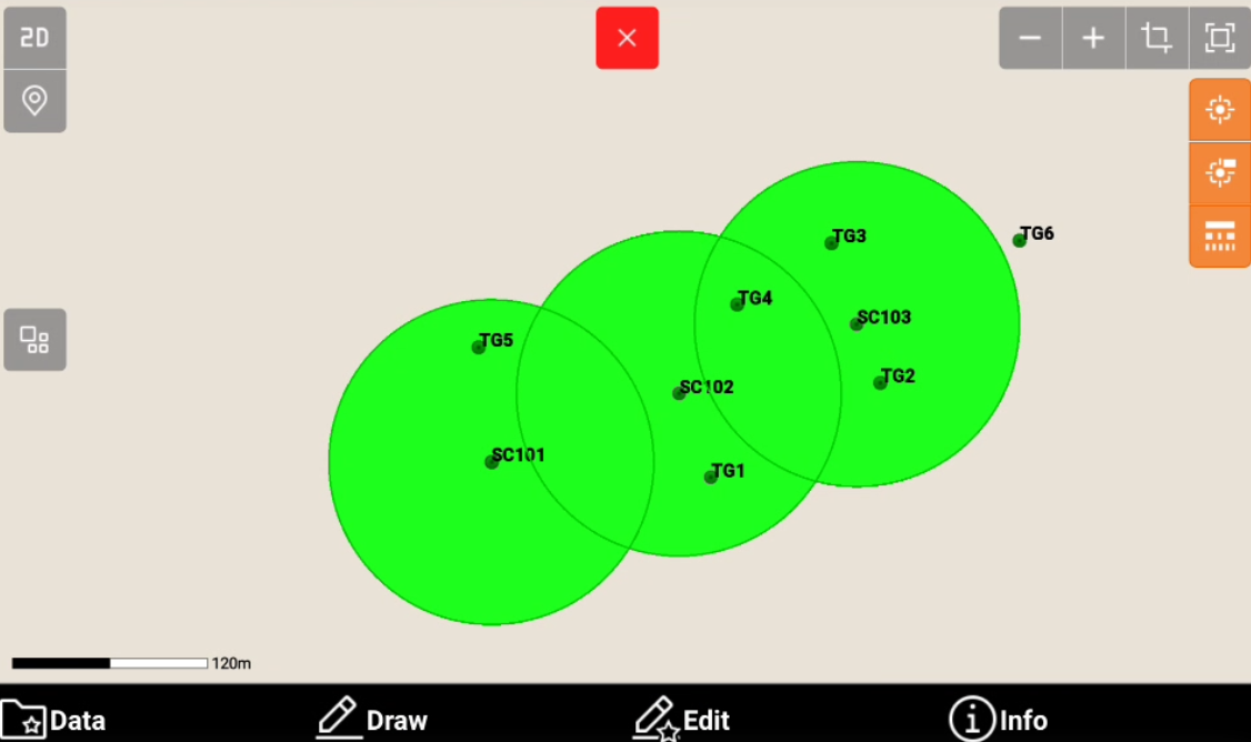
Laser scanner setting page allows to enable the laser scanner zone, in order to help defining scan and target positions when working with a terrestrial laser scanner.
-
Click Settings.
-
Click Laser Scanner.
-
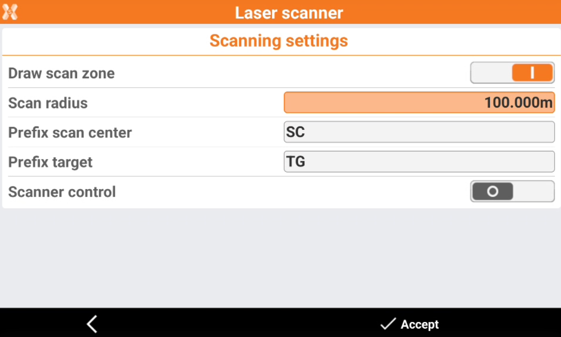
Draw scan zone: enables drawing of the scanning zone. The drawing consists in a circle having the centre in the scan points.
-
Scan radius: radius to use for the drawing of the scan area. Corresponds to the average range of the scanner.
-
Prefix scan center: prefix with which the scan centres have to be identified. The scan zones are drawn in relation to the scan centres.
-
Prefix target: prefix used to indicate the target points.
-
Scanner control: enables the scanner control mode directly from X-PAD. In the survey menu, an item is added allowing to access to web page to control the scanner (in case of GeoMax Zoom300 scanner).
-