


-
The system is created based on the measurement of a point of origin and the measurement of a second point which defines the direction of the axis.
-
From GNSS localization select Reference axis.
-
Click Next.
-
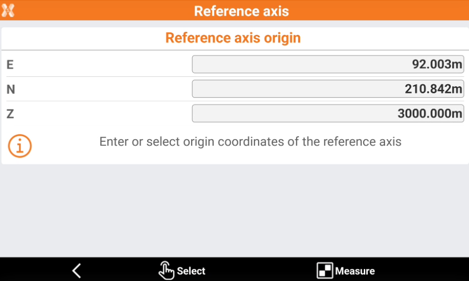
Enter the coordinates for the Reference axis origin.
-
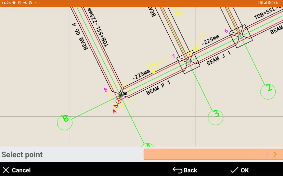
Click Select to choose the same point from the CAD window.
-
Click Measure to measure the reference point with the current GNSS profile.
-
Click Measure also in the following page to define the direction of the reference axis.
-
Select the calculation method to be used for elevation and click Accept.