



-
X- PAD allows to select a vertical system independently from the used projection.
-
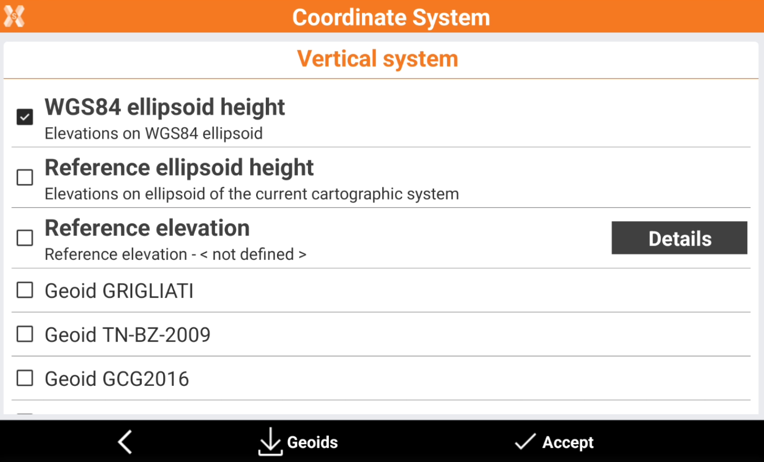
At the end of each GNSS localization selection, the Vertical system page is visualized. This page allows to select the vertical system to use.
-
WGS84 ellipsoid height: the elevation is calculated on the WGS84 ellipsoid.
-
Elevation on local system: the elevation is calculation using the parameters from the current local system. For example if a single point or site calibration local systems have been calculated, the elevation is calculated from the local system parameters.
-
Reference elevation: allows to define a reference elevation. Click Details to measure a GNSS point and assign to it a reference elevation. The elevations will be calculated referred to a plane passing by this point.
-
Geoid: allows to calculate the elevation over the sea level using a geoid.
-
Download and use a geoid file
-
In order to calculate GNSS elevations over the sea level a geoid file is required.
-
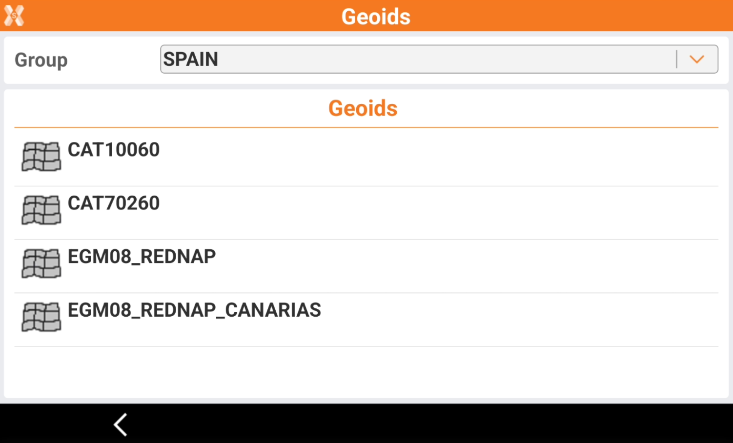
To download the corresponding geoid click Geoids.
-
Select the country and click on the geoid file to use.
-
The file is downloaded to the controller and selected as vertical system.
The geoids can also be downloaded from the country package.