



-
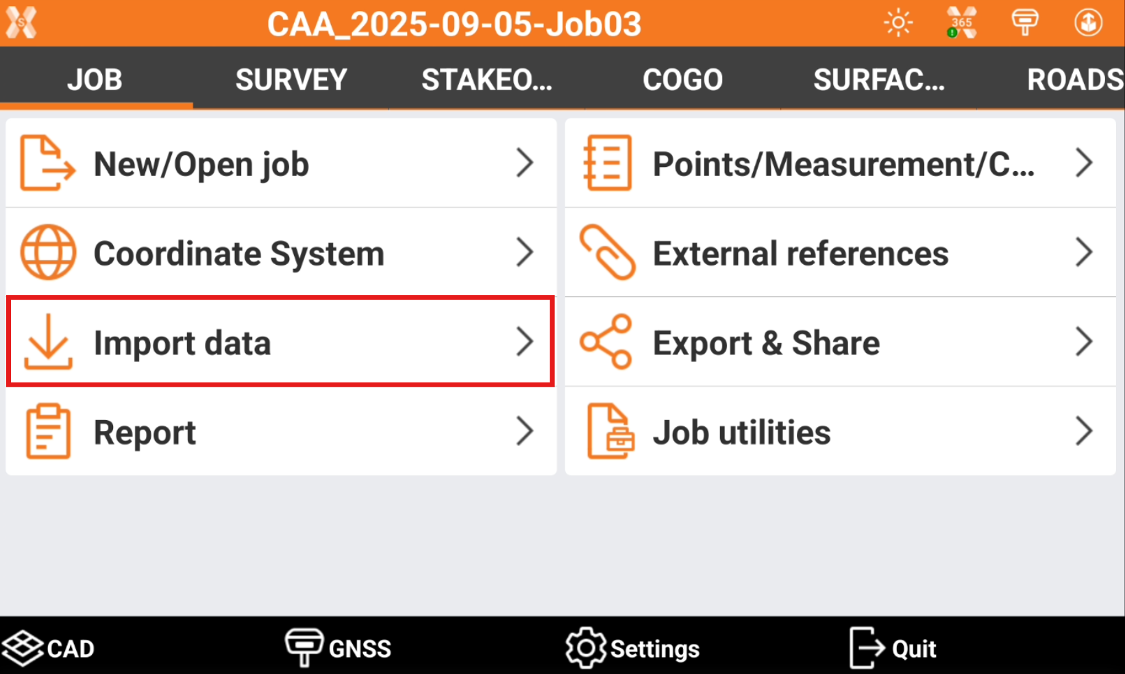
To import a file open the Job page.
-
Click Import data.
-
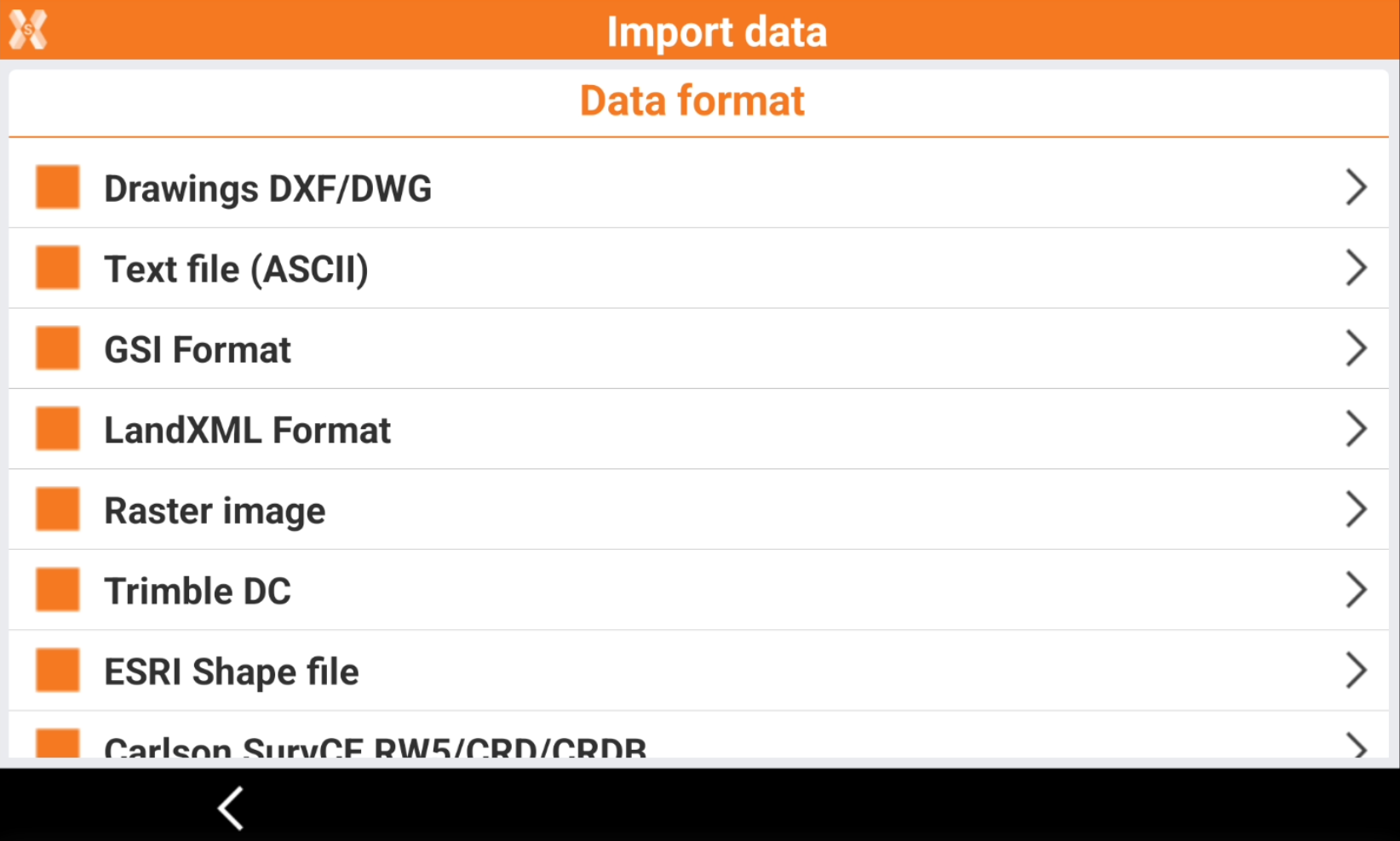
Select the data format to import.
-
Drawing DXF/DWG: imports a DXF/DWG file containing drawing information and points.
-
Text file (ASCII): imports a file of points or codes in text format. Import parameters can be saved in a template.
-
GSI format: imports a file from a standard GSI format.
-
LandXML format: imports points, drawings, surfaces and road design data from a standard LandXML file.
-
Raster image: loads a raster map to be used as background.
-
Trimble DC: imports points and GNSS calibration data from Trimble DC format.
-
ESRI shape file: imports points, polylines and polygons from ESRI shape files format.
-
Carlson SurvCE: imports points and GNSS calibration data from RW5/CRD/CRDB files format.
-
Sokkia SDR format: imports data from SDR Sokkia files format.
-
Google Earth KML/KMZ: imports data from Google Earth files in KML or KMZ format.
-
SBG Geo data GEO/PXY/TRM: imports data and surfaces from SBG Geo files in GEO/PXY/TRM format.
-
-
Select the file to import.
-
The data is imported in the current job.