



-
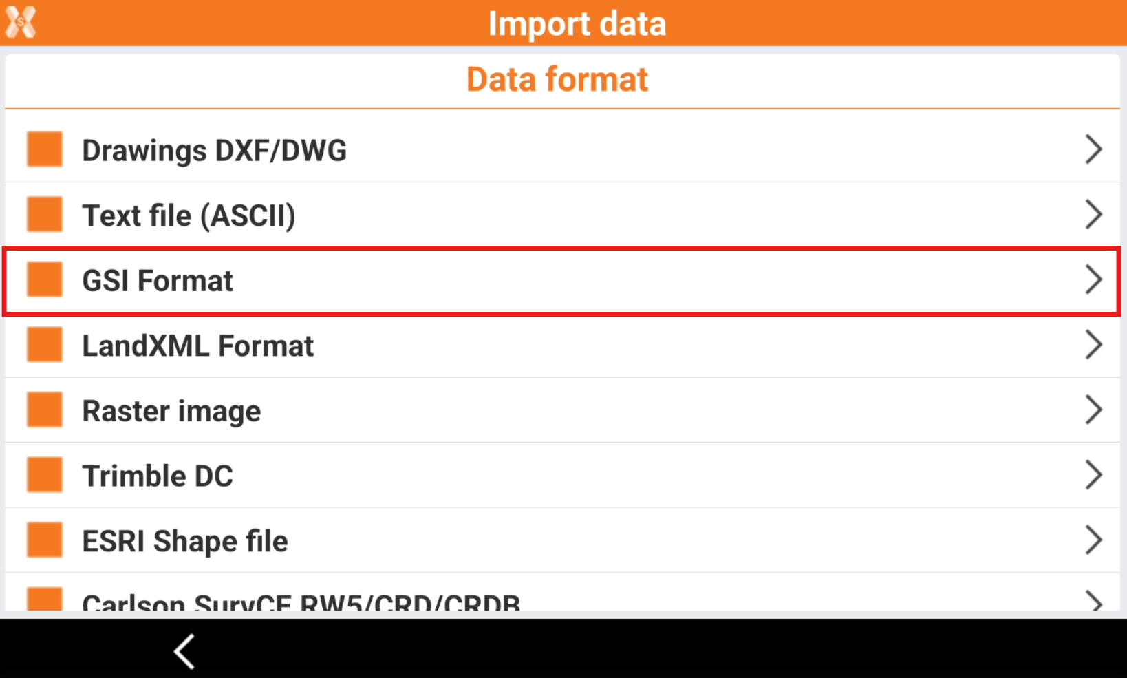
To load a file in GSI format select Import data.
-
Click GSI format.
-
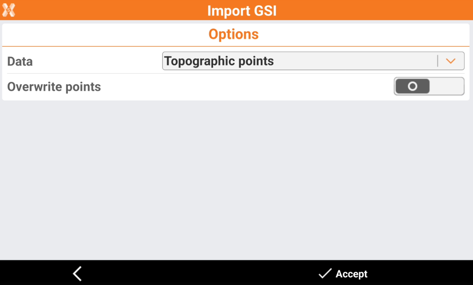
Specify to import data as topographic points or as reference points.
-
Data:
-
Topographic points: the data is imported in the Topographic point list.
-
Reference points: the data is imported in the Reference point list.
-
Overwrite points: points with same name are overwritten.
-
-
-
Click Accept.