



-
To load a drawing in DXF/DWG format select Import data.
-
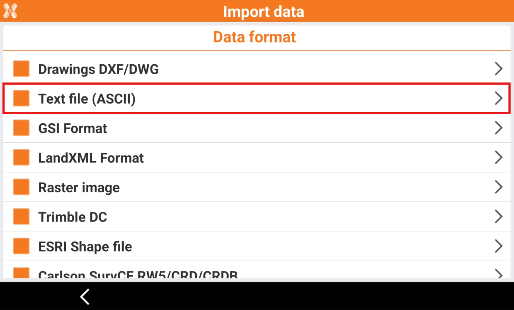
Click Text file (ASCII).
-
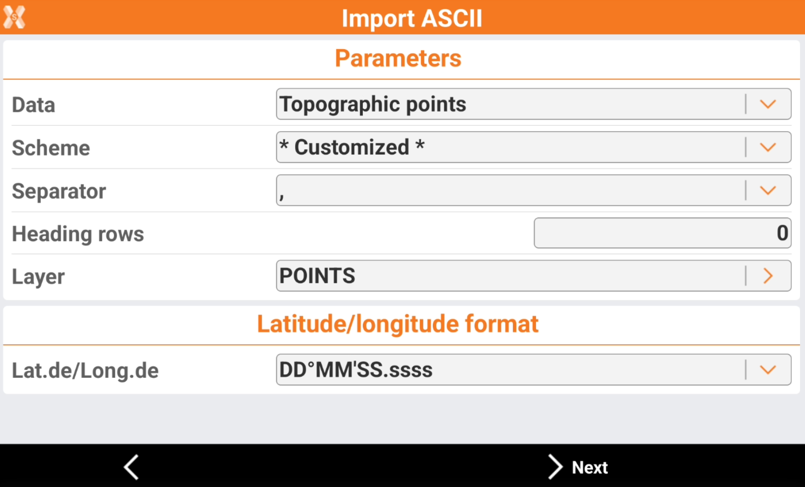
Enter the import parameters.
-
Data: selects what data to import.
-
Topographic points: to import a file with a list of topographic points. The points are imported in the Topographic point list.
-
Reference points: to import a file with a list of reference points. The points are imported in the Reference point list.
-
Codes: to import a file with a list of survey codes. The codes are imported in the Codes list.
-
-
Scheme: the currently available import scheme is suggested. Select a scheme or choose * Customized * to create a scheme.
-
Separator: character separating fields with content.
-
Heading rows: number of rows composing the heading in the file. Heading rows are not imported.
-
Layer: the layer in which the points are saved. Selecting a layer allows a logical organisation of the points.
-
Lat.de/Long.de: selects the format of latitude and longitude when imported.
-
-
Click Next.
-
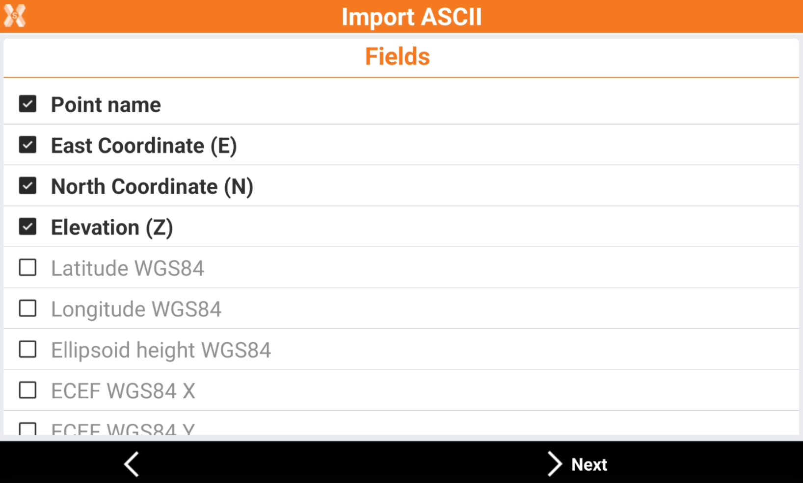
The list of the fields that can be imported is displayed in a table.
-
For * Customized * scheme select the fields to import and change the order using the buttons.
-

-

-

-
-
Click Next.
-
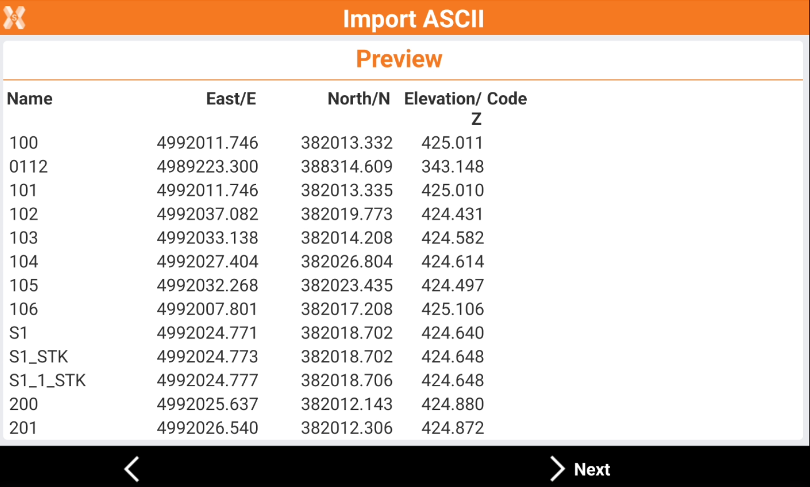
The software shows a preview of the imported data. Check if the result is correct.
-
Click Next.
-
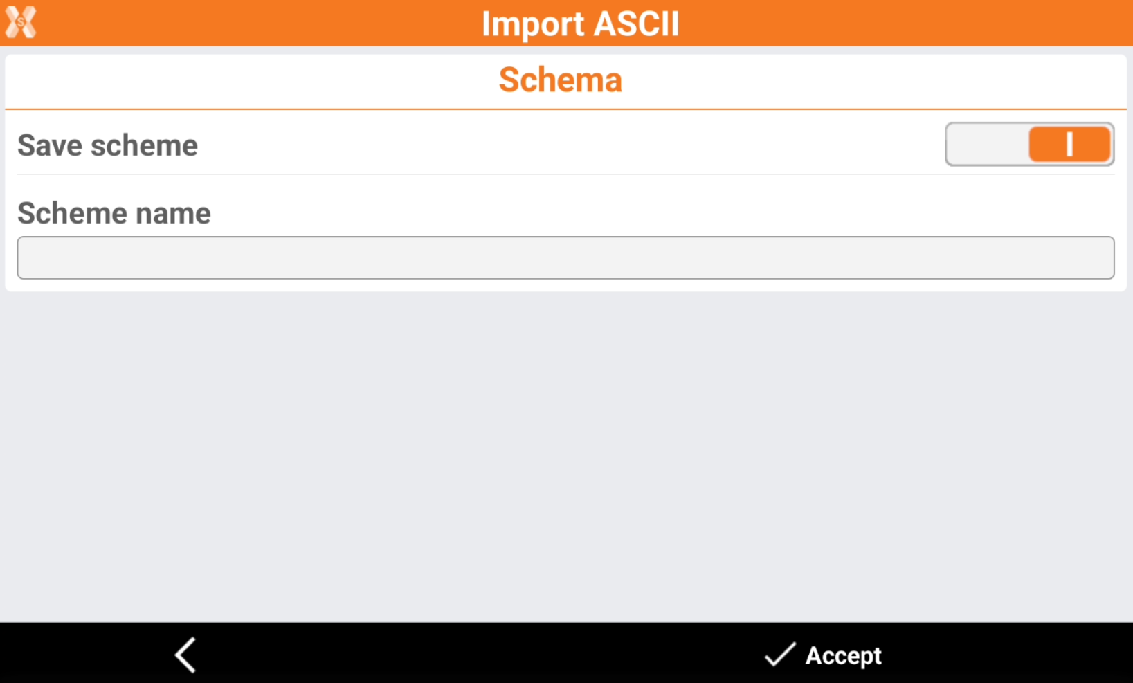
If the scheme was Customized, it is possible to save the scheme.
-
Save scheme: enables the saving of the used scheme.
-
Scheme name: the name of the scheme.
-
-
Click Accept.
-
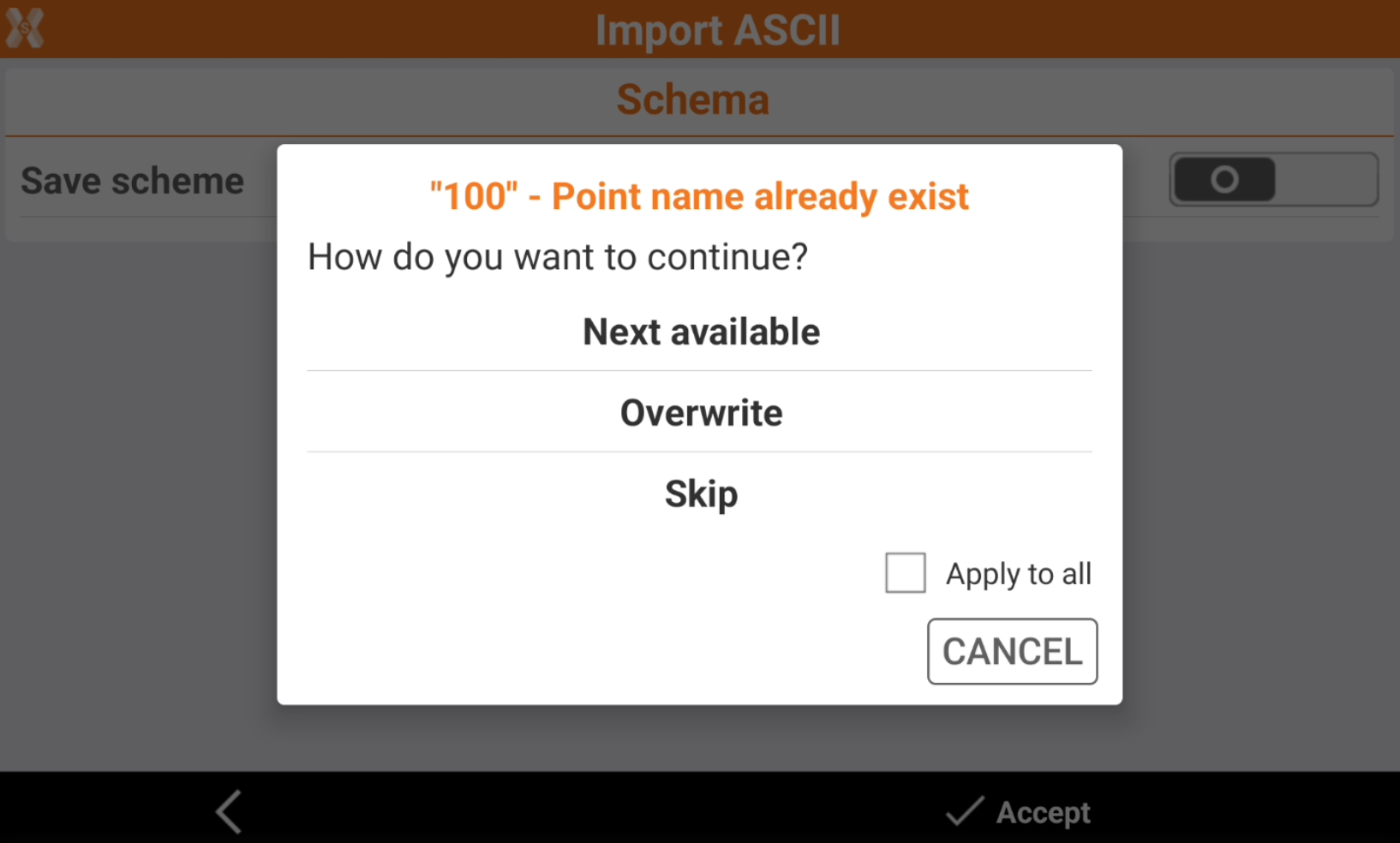
If a point already exist it is possible to select how to proceed.
-
Next available: the point is imported with the ID of the next available point.
-
Overwrite: the point overwrite the point in the database with the same name.
-
Skip: skips the importing of the point.
-
Apply to all: allows to apply to all points the selection.
-
-
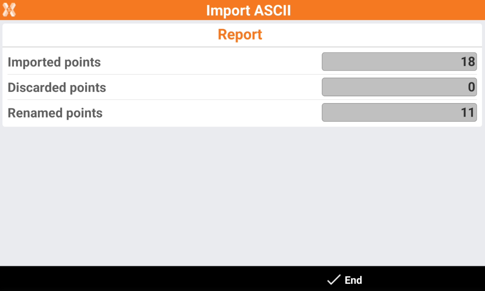
The software shows a report of the importation.
-
Click End to conclude.