



The LandXML import allows to import topographic points, drawings, surfaces and road axis.
-
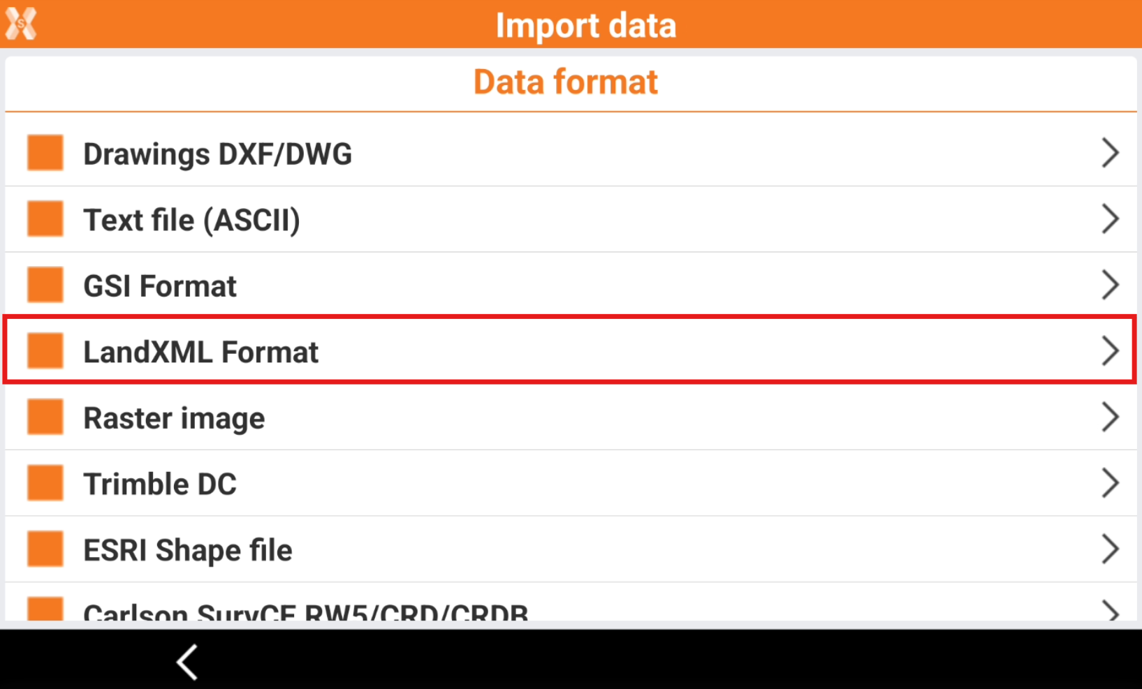
To load a file in LandXML format select Import data.
-
Click LandXML Format.
-
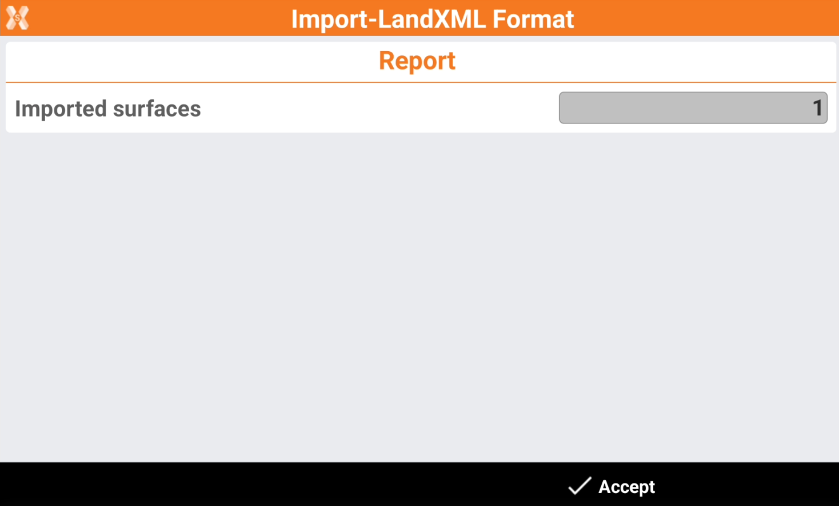
The software shows a report of the imported entities.
-
Click Accept.