



-
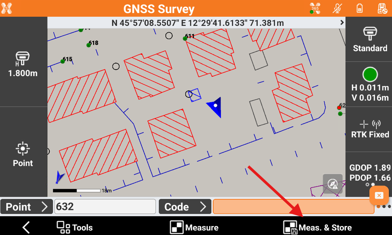
To measure a GNSS point click Meas & Store.
-
The acquisition of positions for the number of epochs set in survey parameters starts.
-
The epochs are acquired if the conditions defined for accuracy checks defined in GNSS Settings are met.
-
Otherwise the software keeps waiting for a manual stop or until the conditions are met.
-
When the number of defined epochs is reached, the point is saved. The name of next point is automatically suggested.
-
If GIS feature are required for a point code, a window for entering the attributes opens.