

-
The methodology of GPS survey with locators is the same as the standard GNSS survey.
-
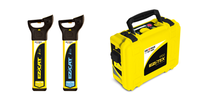
An active locator profile must be defined that is used to acquire the depth values, see Creating a profile for cable detector.
-
Click Survey.
-
Click Survey points.
-
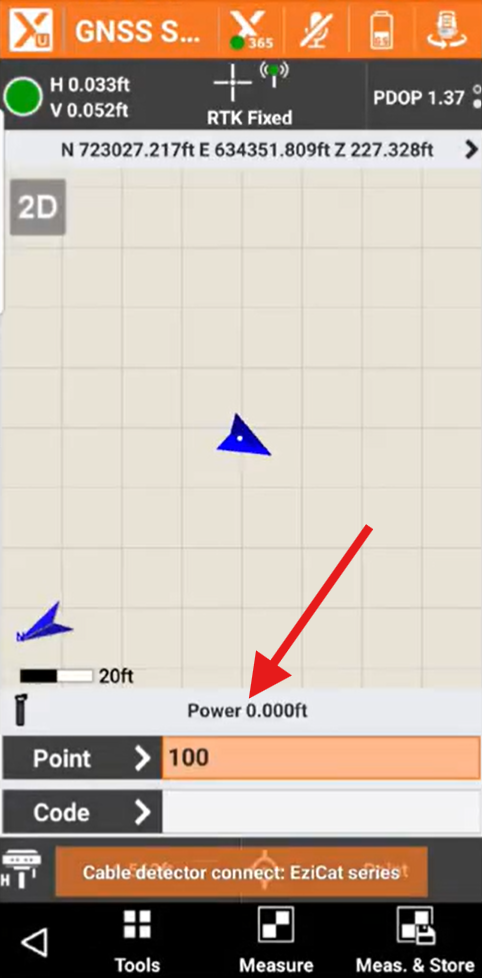
X-PAD connects to GNSS receiver and locator. If the locator profile is active in the GPS survey window, a bar with the locator working mode is visible.
-
Press the LOG key of the locator to send the measured value of depth to the software on the controller.
-
The software captures the depth and stores a new point using the current GPS position.
|
Webinar |
|---|
Locators how to use them & X PAD locators module (2024-2-11) How to work with GeoMax cable locators and the X-PAD locator optional module. |