-
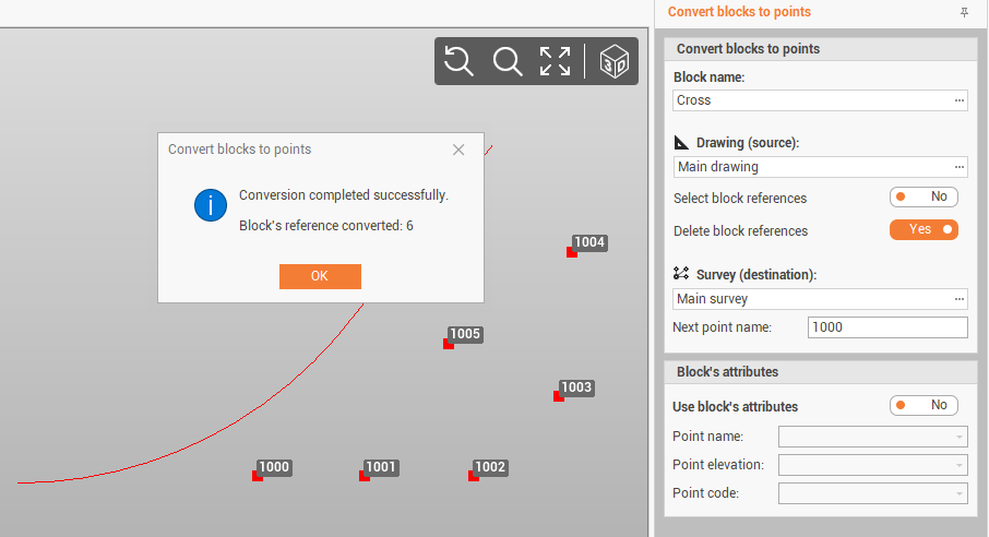
Use the command From block’s reference to convert selected block’s reference to topographic points.
-
Attribute’s values can be used to extract the name, elevation and code of extracted points.
-
Click Draw.
-
Click click below Point to open drop down menu.
-
Click From block’s reference.
-
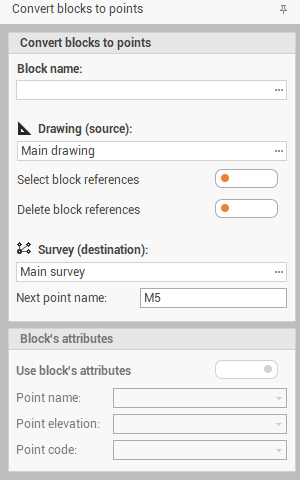
The function opens a panel on the right of the graphic view.
-
Select the options to convert the blocks:
-
Block name: selects the block from the list to convert to topographic points.
-
Drawing (source): selects the drawing sub-project where there are the blocks.
-
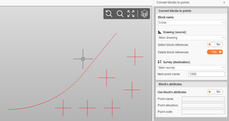
Select block references: if enabled, allows to select from the graphic view the blocks to select. If disabled, all blocks are selected.
-
Delete block references: if enabled, deletes the blocks when they are replaced by topographic points.
-
Survey (destination): selects the survey sub-project where the points will be created.
-
Next point name: selects the name ID of the first created point.
-
Block’s attribute: if enabled, block attributes can be used to extract point name, elevation and code.
-
-
Click Apply to create the topographic points in the selected Survey subproject.