-
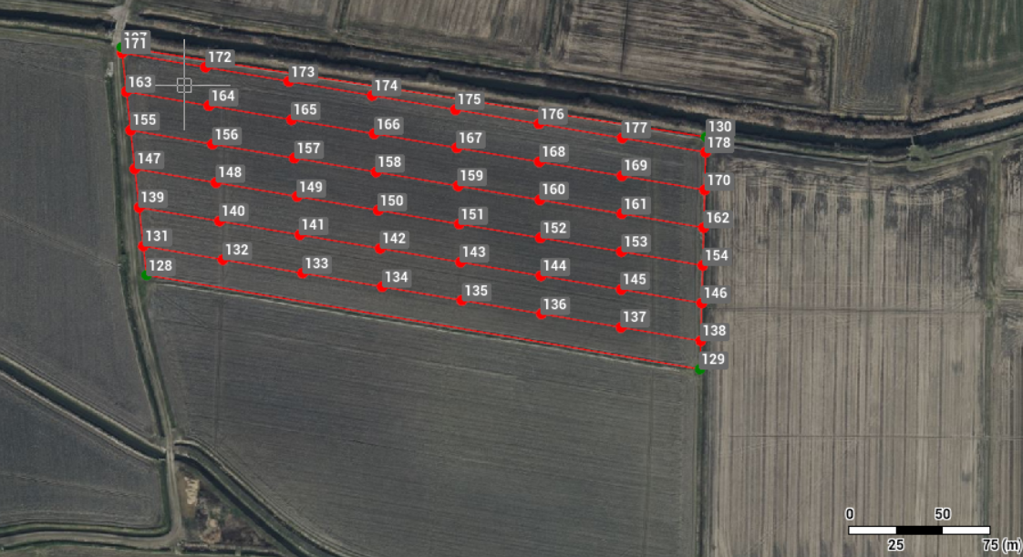
Use the command Grid of points to generate a regular grid of points and lines based on defined parameters.
-
A selected polyline defines the boundary within which the grid is created.
-
Advanced parameters allow, for example, to define the border area excluded from the calculation and the distribution of residual spaces at the extremities in different ways.
-
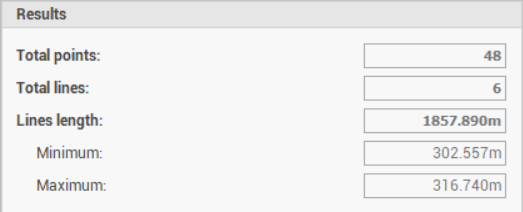
The number of points, line lengths, and other values are reported as statistical information.
-
Click Draw.
-
Click click below Point to open drop down menu.
-
Click Grid of points.
-
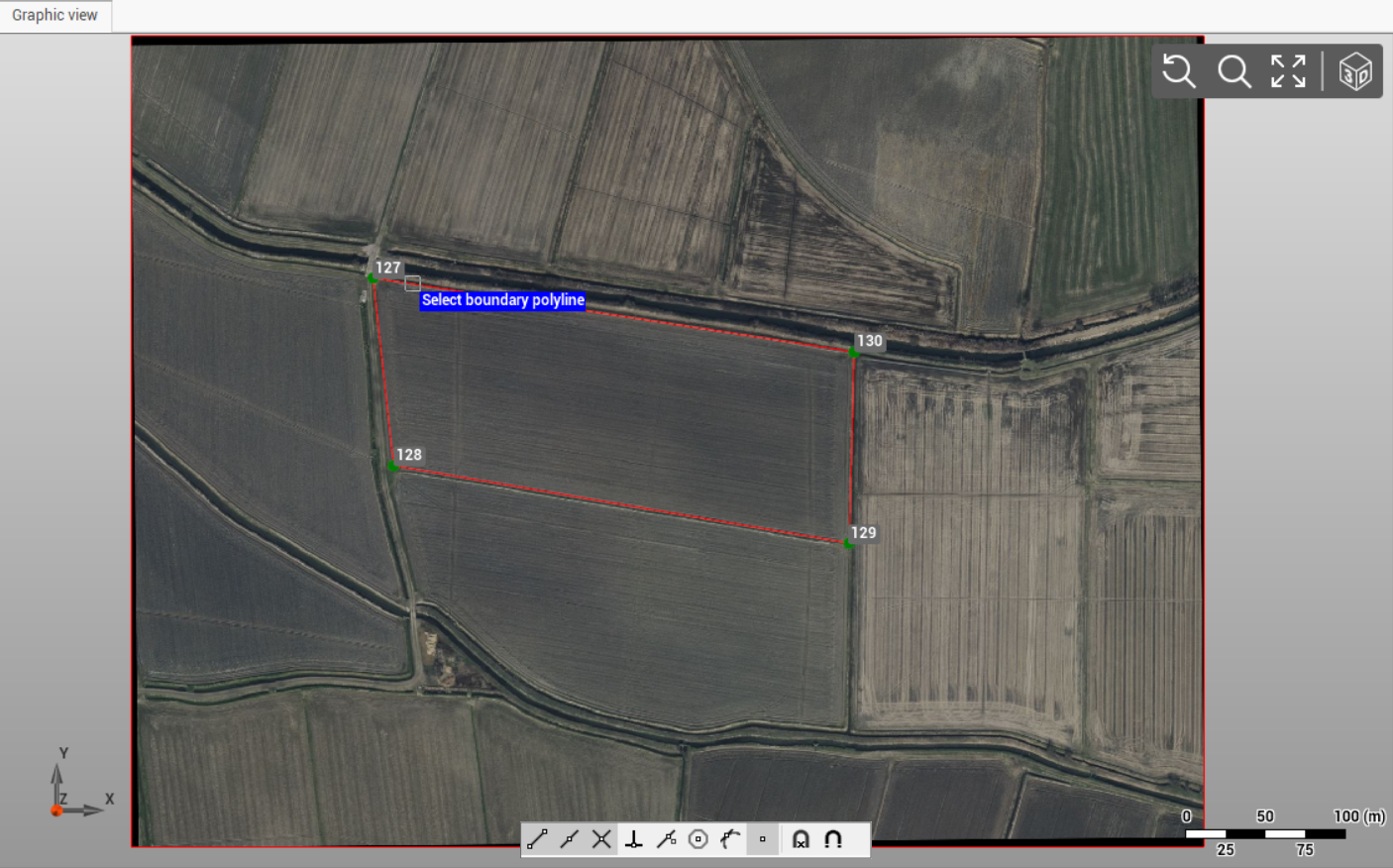
Select the boundary line from CAD.
-
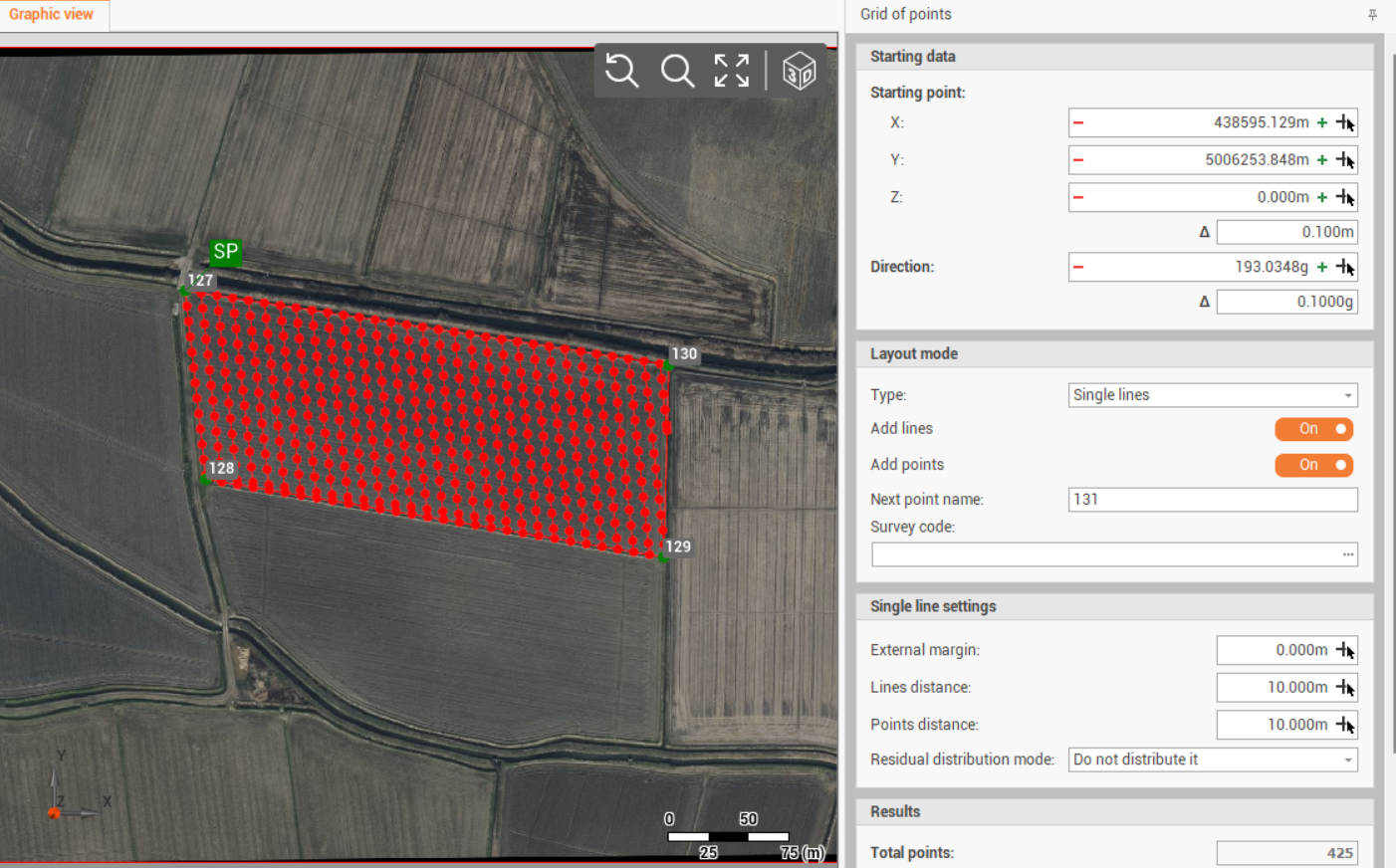
The software opens the Grid of points toolbar on the right panel.
-
Enter the requested parameters to define the grid of points.
Starting data
-
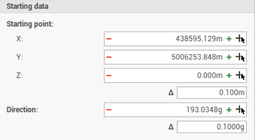
Defines the grid starting point and the main direction. It is identified with SP on CAD.
-
X: east coordinate of the starting point.
-
Y: north coordinate of the starting point.
-
Z: elevation of the starting point.
-
Direction: the main direction angle of the grid.
-
Δ: step to increase/decrease the coordinate or the direction when clicking + and - .
-
-
Click

-
Click
Layout mode
-
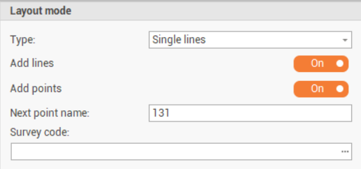
The Layout parameters defines the grid layout.
-
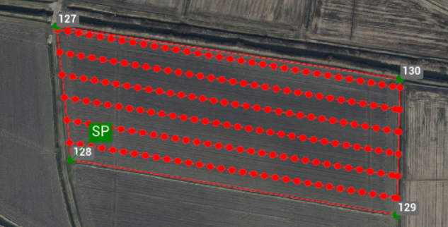
Single lines: the grid layout is single lines. Points are along lines.
-
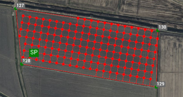
Grid: the grid layout is a grid with main and secondary lines.
-
Add lines: if the layout is Single lines, creates the lines.
-
Add main lines: if the layout is Grid, creates the main lines.
-
Add secondary lines: if the layout is Grid, creates the secondary lines.
-
Add points: creates the topographic points.
-
Next point name: the starting name of the topographic points to add.
-
Survey code: the survey code where to create the new entities.
-
Grid settings
-
Available if Layout is Grid.
-
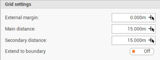
The Grid settings parameter defines the settings of the grid.
-
External margin: defines an external margin between the grid and the boundary.
-
Main distance: the distance on grid main direction between the points.
-
Secondary distance: the distance on grid secondary direction between the points.
-
Extend to bound: extends the grid to the boundaries.
Single line settings
-
Available if Layout is Single line.
-
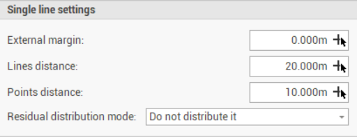
The Single line settings parameter defines the settings of the grid.
-
External margin: defines an external margin between the grid and the boundary.
-
Lines distance: the distance between the lines.
-
Points distance: the distance between the points along the lines.
-
Extend to bound: extends the grid to the boundaries.
-
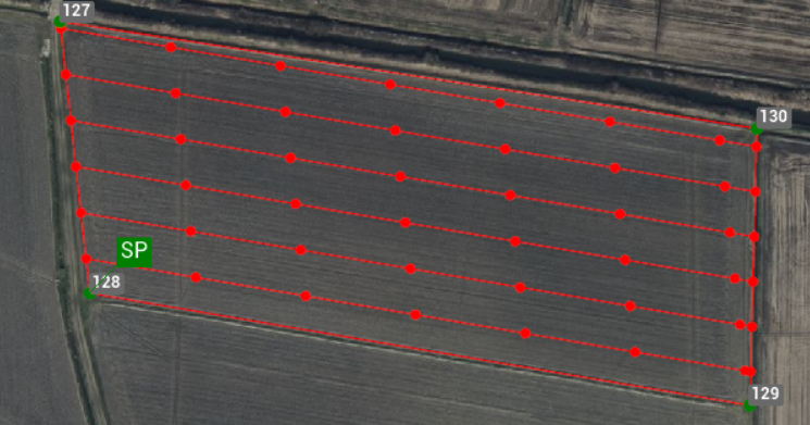
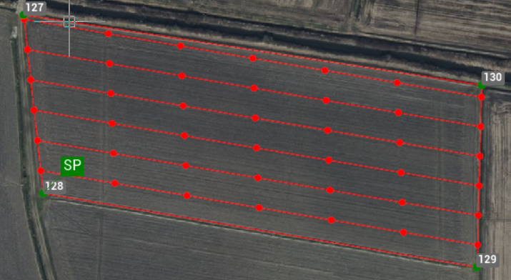
Residual distribution mode: defines how the residual is distributed along a line. For example if the line is long 55 meters, and the points distance is 10 meter, I will have 5 meter residual.
-
Do not distribute it: the residual is not distributed. Creates a point at the end of the line.
-
Distribute at the extremities of the line: the residual is distributed at the beginning and end of the line.
-
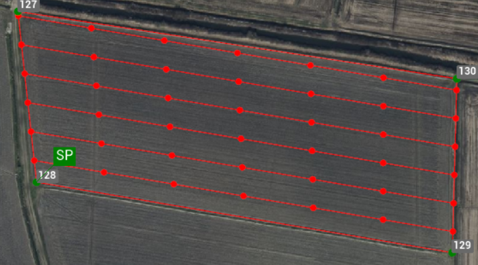
Distribute equally: the residual is distributed equally along the line.
-
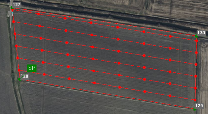
Distribute equally adding a point: the residual is distributed equally along the line adding a point.
-
-
Ignore residual below: in case residuals are distributed, allows to ignore the setting if the residual is below entered value.
-
Results
-
Shows the results.
Save
-
After parameters have been entered, click Save drawing to save the result.