



-
Every GIS feature has to be associated to a survey code to be used during a survey.
-
Saving a point: the software checks the survey code associated with the point. If a GIS feature is associated to the survey code, a window is displayed allowing to add the corresponding attributes.
-
Saving a line: the attributes can be assigned to the first point of the line, to all points or to the last point of the line. In most cases, the last point of the line is the best solution because more information about the line is available.
-
-
To assign a feature to a code, first of all load or create a GIS feature list.
-
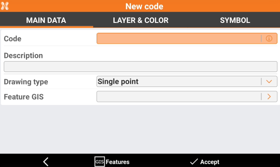
In the Main data page click Feature GIS to assign to the code a feature GIS.
-
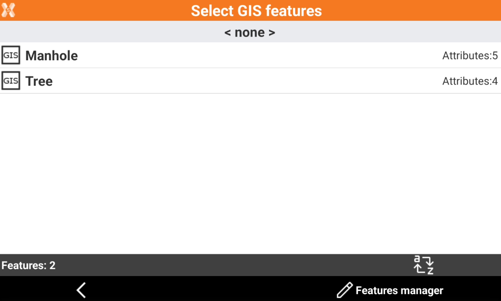
Select a GIS feature, available in the GIS features list loaded, to use when a point is measured with this specific code.
-
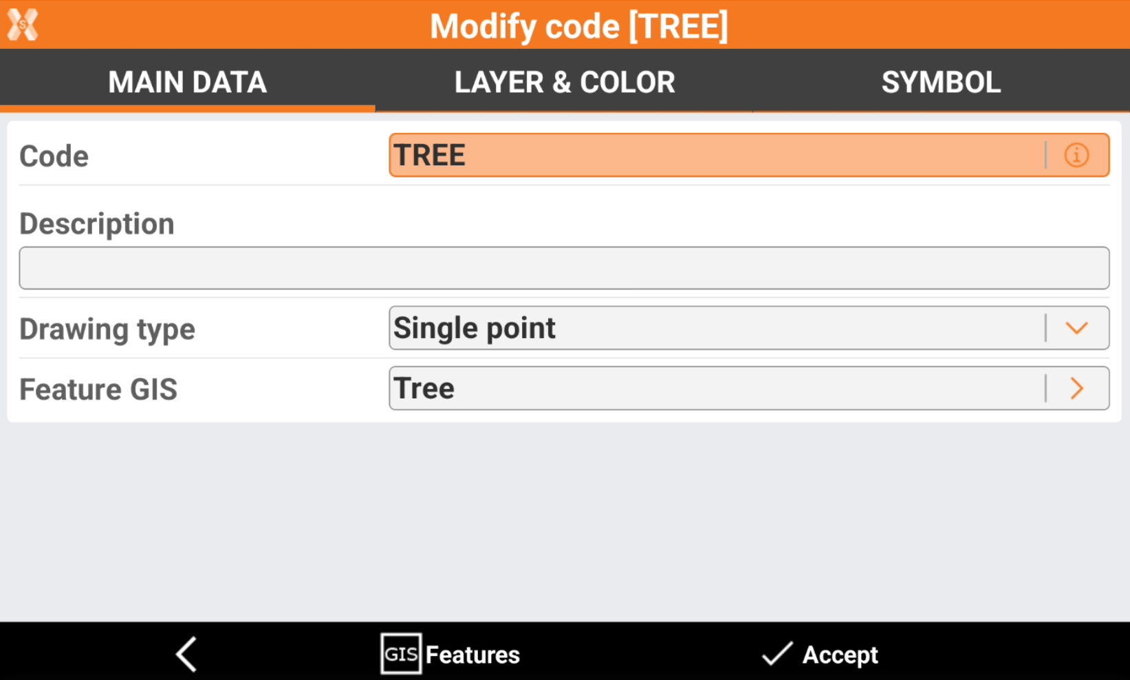
The survey code has now assigned a feature GIS.
-
When a measure is done using this survey code, the user is prompted to enter the attributes for the selected GIS feature.