

-
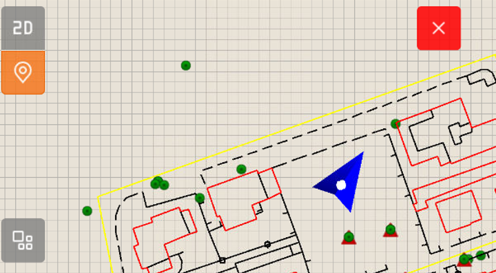
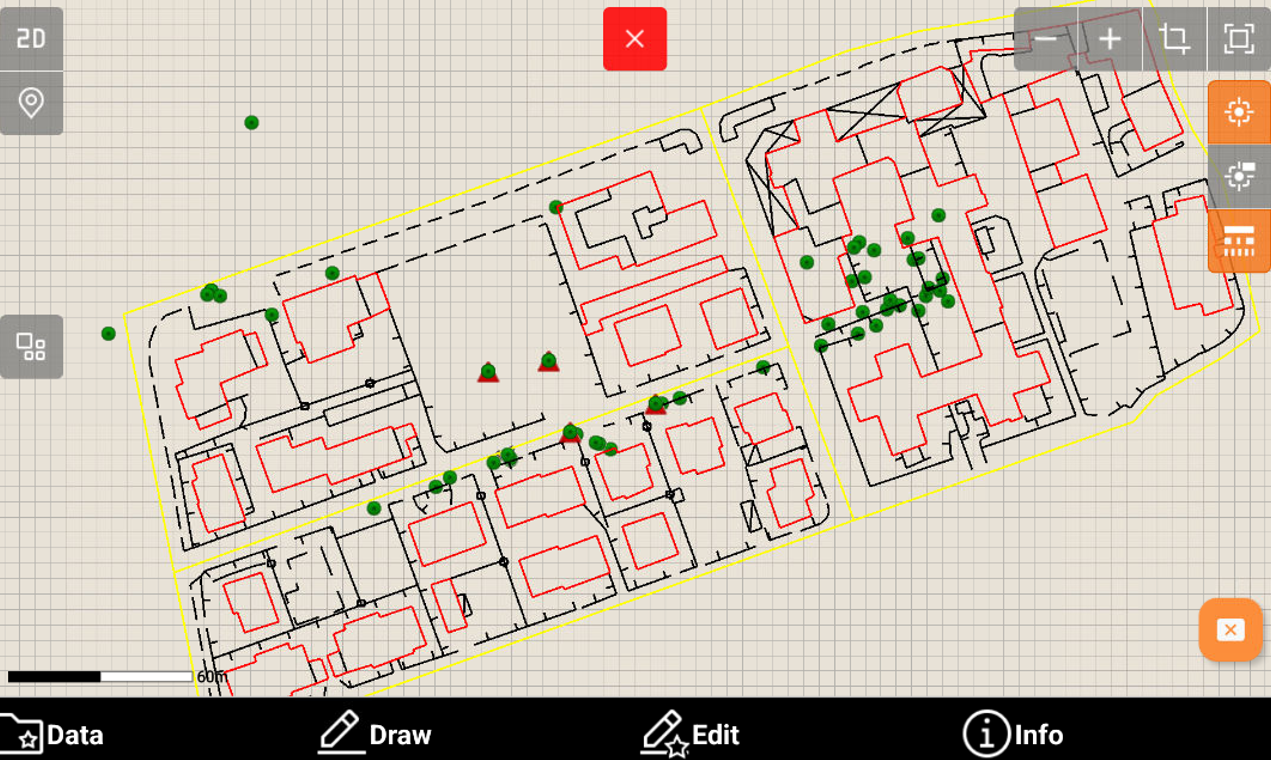
The CAD 2D view is the standard CAD view from the top.
-
Click 2D

-
Click on the graphic area and drag to change the point of view.
-
Tap in the graphic area using two fingers and move them apart to zoom in.

-
Tap in the graphic area using two fingers and bring them closer together to zoom out.

-
Click Locate me