

-
WMS is an acronym for Web Map Services, a standard protocol for sharing 2D maps online. This technology is used globally and has been around for many years. Governments and municipalities often utilize WMS to share public information.
-
Click Map

-
Click Select map

-
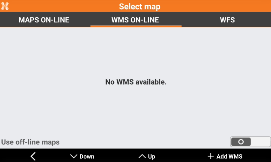
Open WMS ON-LINE page.
-
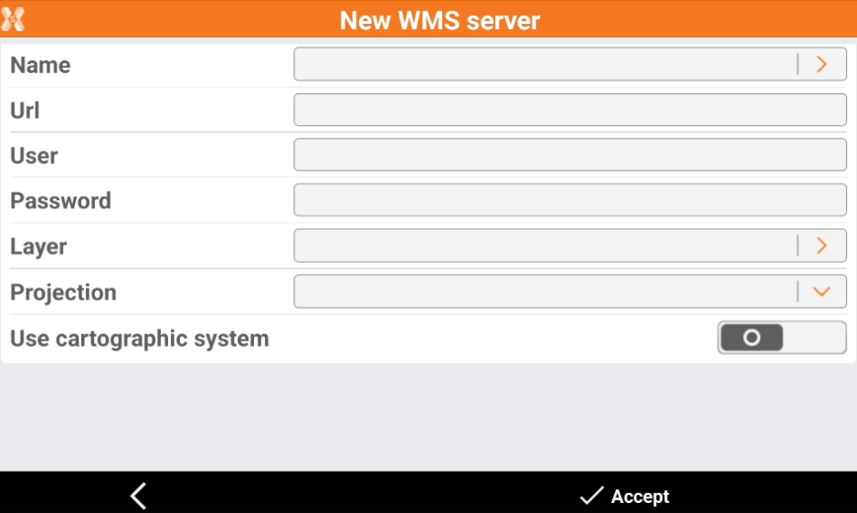
Click Add WMS to add a new WMS.
-
Name: Name to assign to the WMS map. Click the orange arrow to load predefined WMS services.
-
Url: internet address of the WMS map.
-
User: user name for accessing the WMS service (optional).
-
Password: password for accessing the WMS service (optional).
-
Layer: to select the layer to visualize among the ones available in the server, click the orange arrow to display the available layers.
-
Projection: projection used by the WMS service.
-
-
Click Accept to load the WMS.
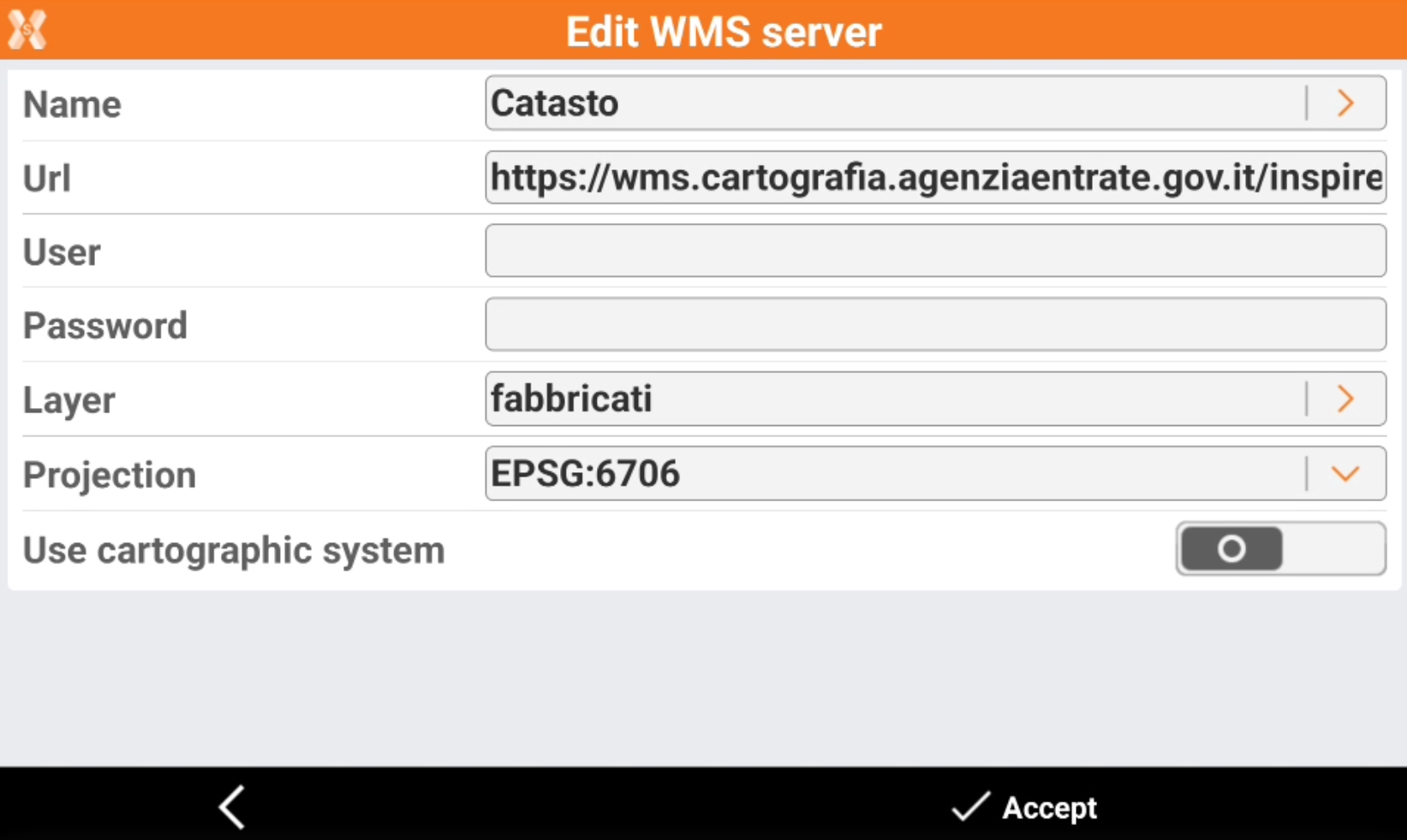
We loaded WMS for some countries. Predefined WMS are available in the country package (see Install the localization package).
If you cannot load a WMS, try to change the projection.
-
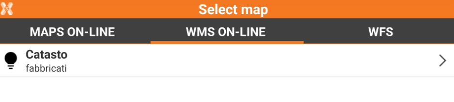
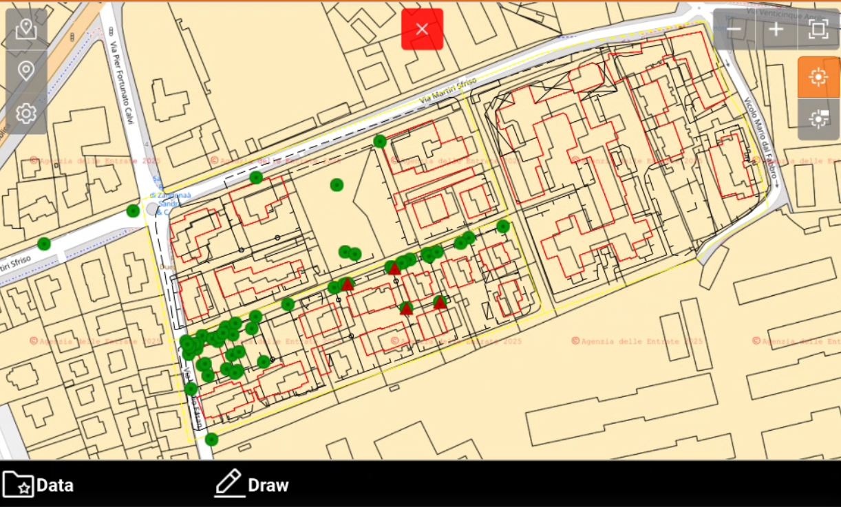
The WMS is now available in the WMS ON-LINE map.
-
The WMS is overlay to the selected online map.
Drawing on an online maps
-
It is possible to draw points and lines while the CAD view is displayed on an online map.
-
Click Draw.

-
This opens a toolbar.

-
Point: to draw points on the map. Click directly on the map or use the snap to create new topographic points.
-
Line: to draw lines on the map. Click directly on the map or use the snap to create new lines.
-