

-
From the Points list page it is possible to change how points are visualized.
-
Click Job.
-
Click Points/Measurements/Codes.
-
Open the Points tab.
-
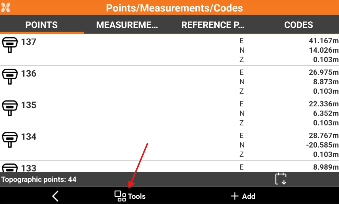
Click Tools to open the list of available tools.
Visualize latitude, longitude and elevation
-
Click Tools from the Points list page.
-
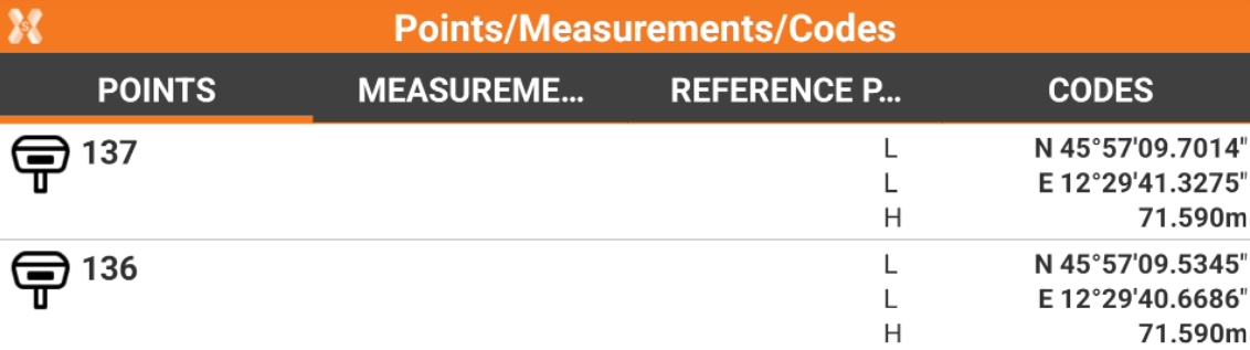
Click View LLH.
-
Every point is displayed with geodetic coordinates, if available.
Visualize east, north and elevation
-
Click Tools from the Points list page.
-
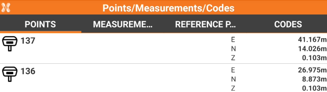
Click View ENZ.
-
Every point is displayed with plane coordinates., if available.
Visualize distance and direction
-
Click Tools from the Points list page.
-
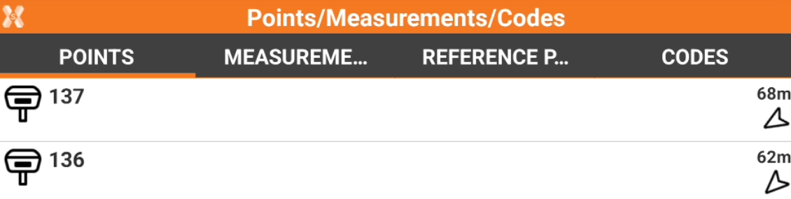
Click View Distance & Direction.
-
Every point is displayed with the distance and direction from the current position. For the calculation, the software can use the GPS receiver connected or the GPS inside the TPS.